-
Grand Canyon Hike, Day 5
This was the day on the itinerary that I was simultaneously looking forward to and feeling most concerned about. My last experience hiking the Grand Canyon was from the North Rim, on the North Kaibab tail. It was years ago (maybe 30 years ago?), but I remember it being steep and a real challenge for me on the way up. All these years later, how would I do?
Well, the day was another beautiful one weatherwise. Predicted temp at the rim was 79; sunshine all the way. After all the warnings about what to bring (extra layer, water, snacks, sunscreen, hiking poles, etc.), I opted for what I usually wear and bring, with an extra water bottle. Since the only backpack I’d brought was the one with all my photography equipment, and it was too big and heavy to bring on this trip, I was without a way to carry much on my own. Ashley and Jay kindly offered to be everyone’s sherpa for extra stuff, so I appreciated that! (I should have packed my really small and light daypack but of all the things I remembered to bring, that didn’t get on the list. 🙁
After the hour or so drive to the South Rim, we met our guides from the Grand Canyon Conservancy (Chris and Melanie) and transferred to their vans for the trip to the South Kaibab trailhead. (This let us park close by so we didn’t have a long walk from the road. Another example of the great coordination and planning the folks at Iconic have done.)
After a short safety briefing at the rim…
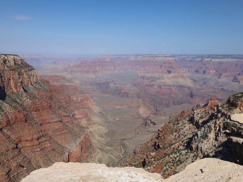
…and a pause to just silently experience where we were and the environment around us, we began.
You’ll notice a gradual raising of the horizon as we decended down the trail. The portion of the trail I was planning to walk was about a mile long with about an 800-foot elevation drop. Of course, that means an 800-foot elevation gain on the way back up! 🙂
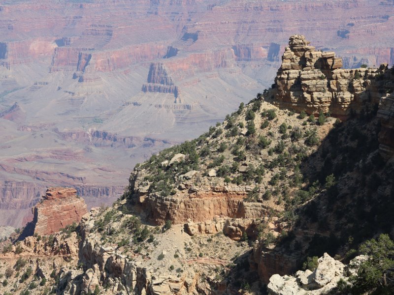
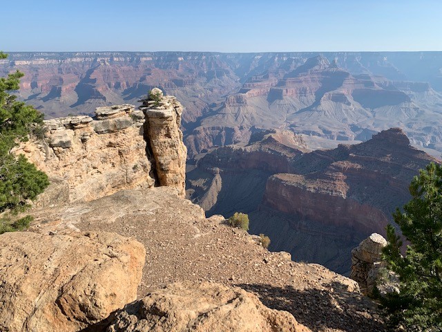
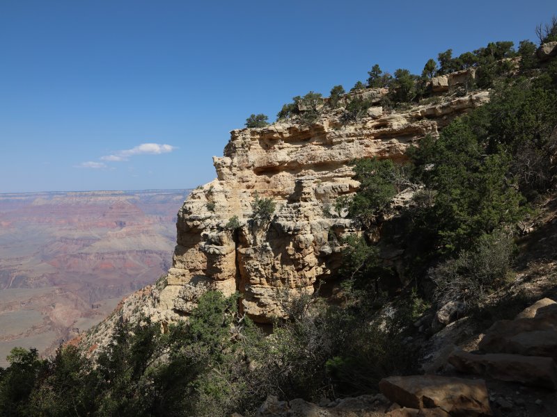
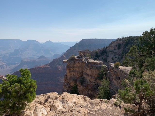
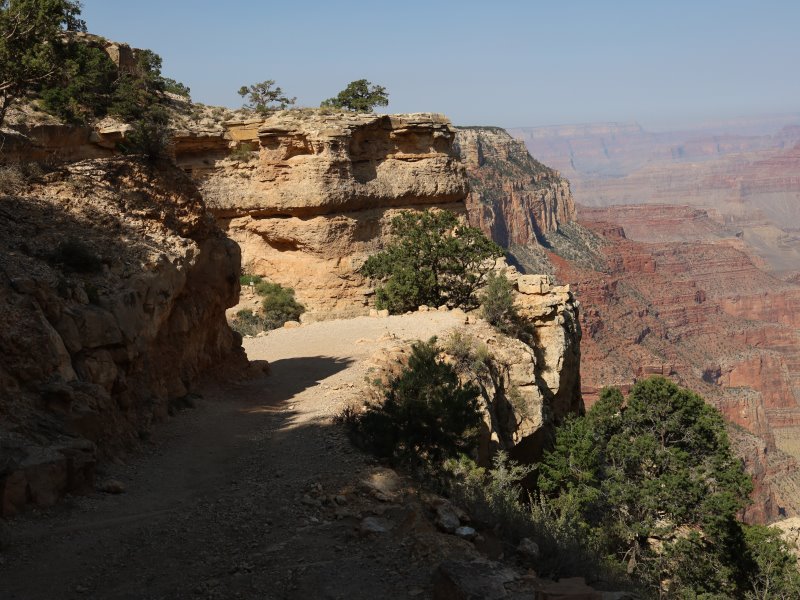
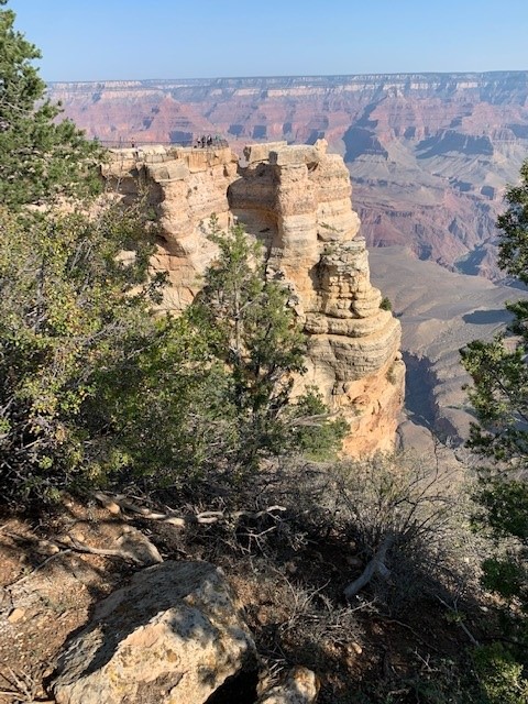
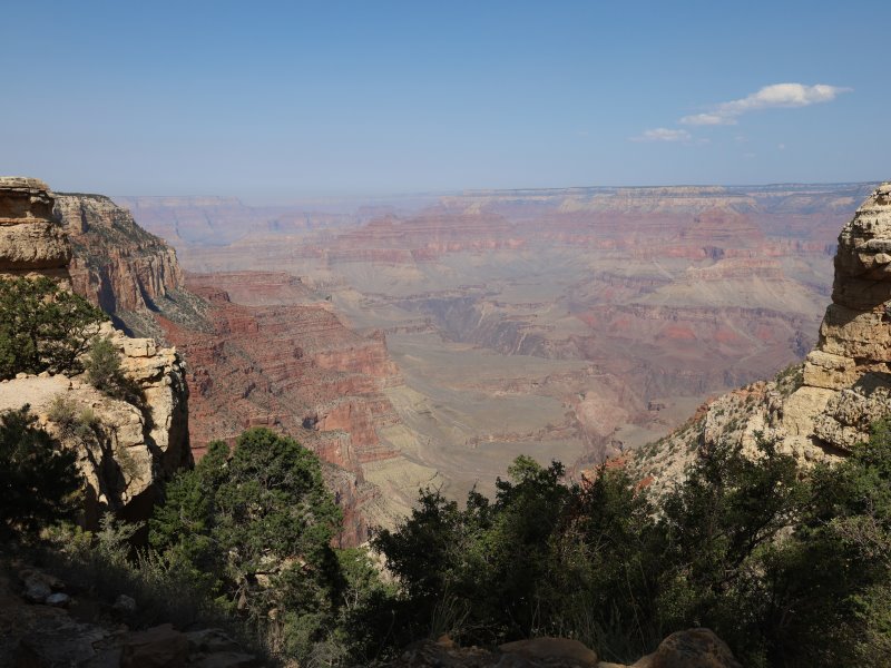
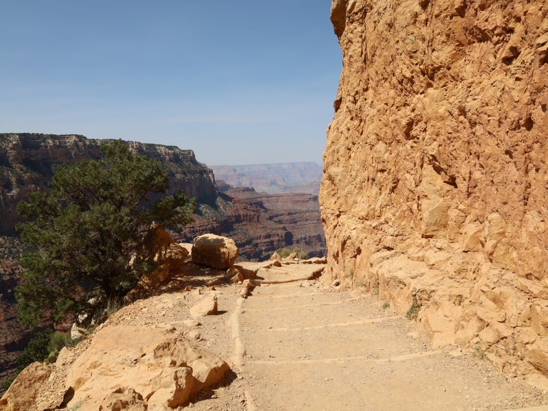
The trail surface wasn’t bad and is very well maintained. Mostly dirt and rock, which can mean some sliding, so it was important to pay attention. The steps were sometimes shallow and sometimes steep. As usual, my hiking poles were trusted allies on the walk. They save strain on my knees and provide both help in balancing and getting up and down the steeper portions. Wouldn’t attempt such a hike without them!
I did a lot of looking down and stopped occasionally to look up to see the overall view, and get some pics. I’ve included several pics of various portions of the trail so you can see both the surface and the elevation change. The trail on the way down was a good mix of shade and sun. On the way back up there was more sun (and it was warmer!) but most of the stops I made to rest were in the shade.
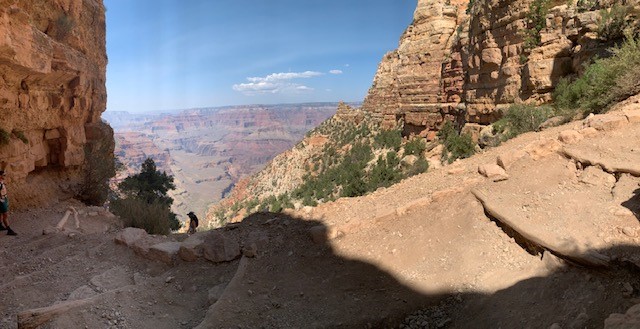
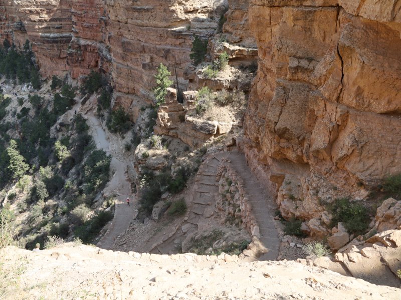
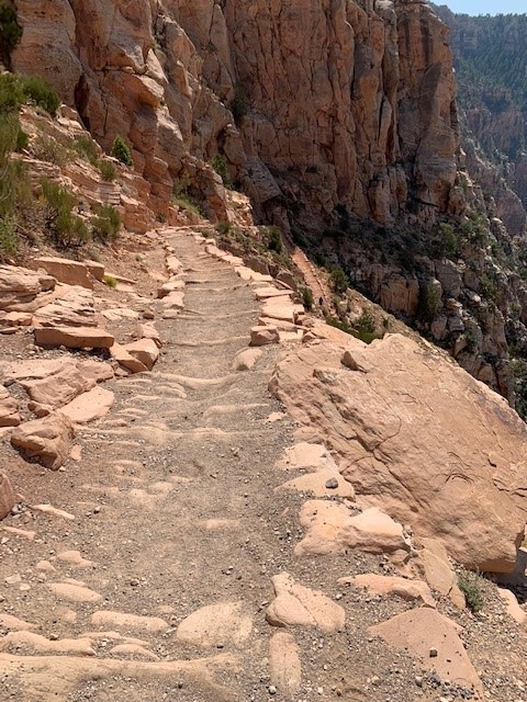
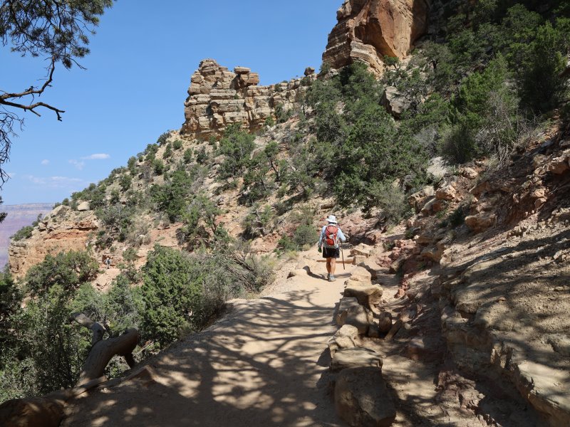
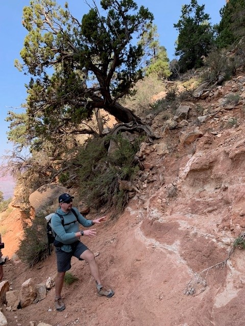
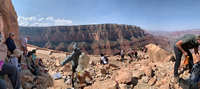
Chris and Melanie provided a running commentary about the area (you can see the pic where Chris is talking about the soil layers and composition). They’re very knowledgeable and obviously love both the canyon and guiding folks around it.
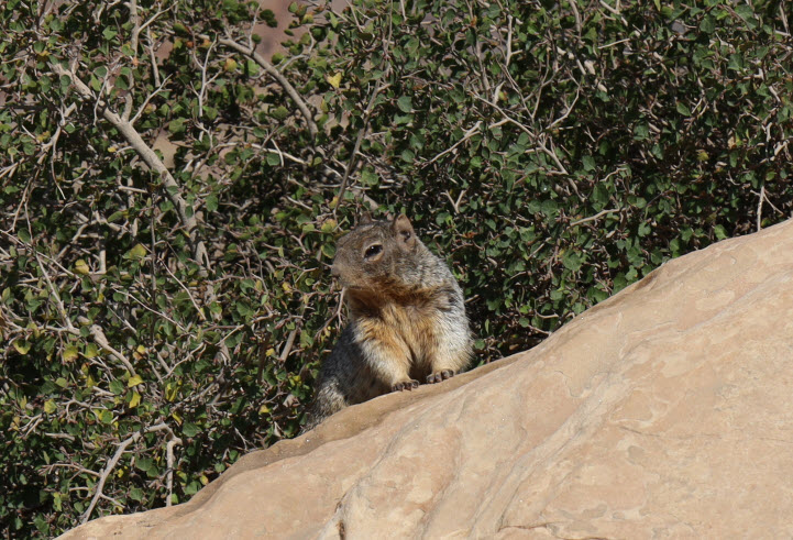
The turn-around point for some of us was at Ooh Ahh Point. You can imagine where that name came from. It truly elicited that reaction. And if you look at the first picture with the sign closely, you’ll see a squirrel popping up to see what treats might be available from the hikers. I did a close-up, too, so you can see his “pose.” 🙂 (I didn’t see anyone feed him, which is good, and he was very circumspect in not getting too close. He was really cute, though!)
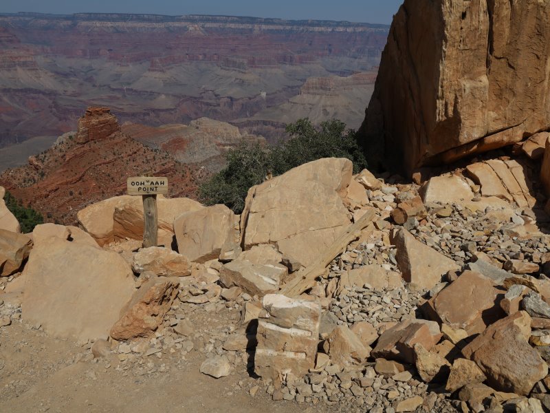
Ooh Aah Point was a resting place for all of us so we could rest and refuel. Getting down to this point was relatively easy for me, so that was good. On the way down, I was kind of always calculating what the trip back up was going to be like, so I was glad when we actually arrived at Ooh Ahh.
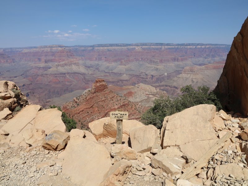
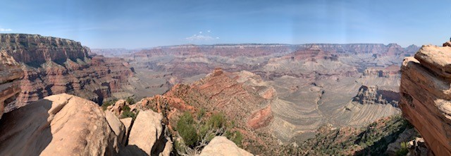
The next stop on the trail was Cedar Ridge. In the pics, it that mostly red area off the rocky point of Ooh Aah Point. If you look closely in the darkest red patch below, you can see the mules that are resting there on their way up the trail from Phantom Ranch, which is even further into the canyon.
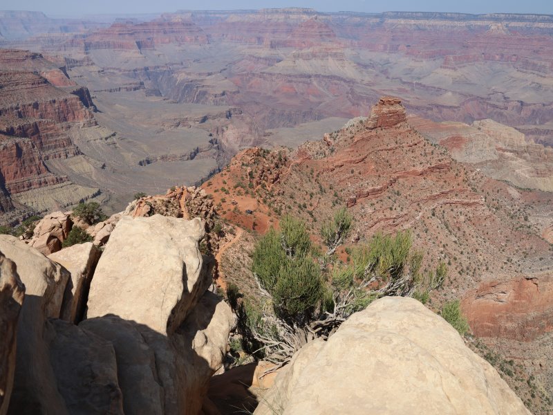
The group that was going on another half hour or so down to Cedar Ridge headed out, and after a little more rest, I started back up. I was sure everyone would pass me on the way back up so I wanted to get an early start.
But you know what? At one resting spot, John did come up just as I was about to leave, and then no one else passed me except Jay, who caught up with me and kept me company to the top. I found the trip up easier than I remembered. Maybe I’ve gained conditioning in the last 30 years, huh? In any case, the hike was tiring but exhilarating, and while I was glad when it was over, I was really pleased with how everything went.
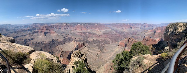
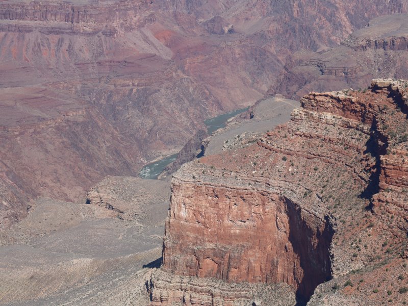
When the first group was all up, we loaded into a van with Melanie and took off for Hopi Point. The view from there is a panorama (look for the railing in the bottom right). The picture after that (with the river running through the middle in the distance) has several fissures in a red rock face. There’s apparently a condor nest in there.
Then we headed back to the area where we met the other group and transferred back to our own vans. We got about 15 minutes to shop in the Grand Canyon Conservancy store, then headed back to Hart Prairie.
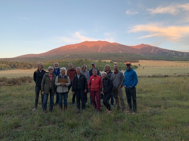
A quick shower set me up for a great time around the fire where we all had a kind of farewell visit. Last pic is of us all just at sunset. (Sorry, don’t recall who took this one, but they did a great job!)
Our “last supper” continued in the fabulous tradition of great meals provided by Main Street Catering in Flagstaff. Now I need to get back home and get on a more pared-down meal schedule! Oof!